 Image 1 of 1
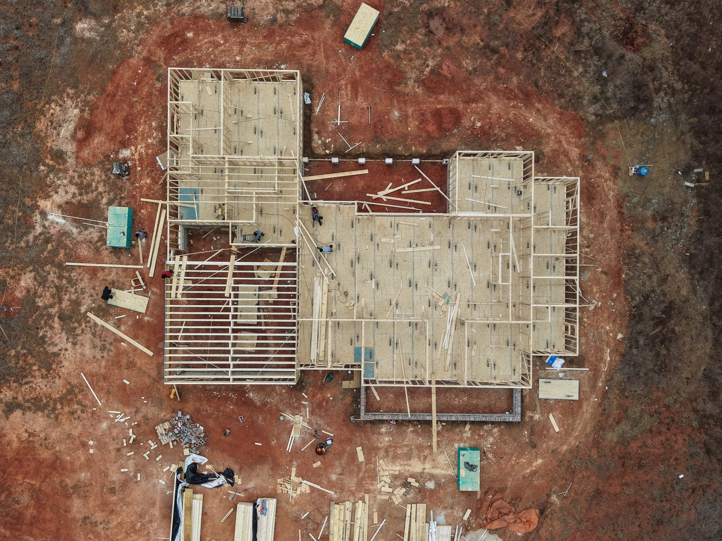
Palmetto Skyworks provides high-resolution orthomosaic mapping and detailed 3D site models that give contractors, developers, and project managers a clear, real-time view of their projects from above. Our precision drone mapping solutions turn your jobsite into accurate, measurable data—helping you track progress, improve communication, document milestones, and make informed decisions with confidence.
From pre-construction planning to final completion, we provide accurate aerial data that enhances coordination, supports reporting, strengthens client communication, and helps your team stay ahead of schedule and on budget.